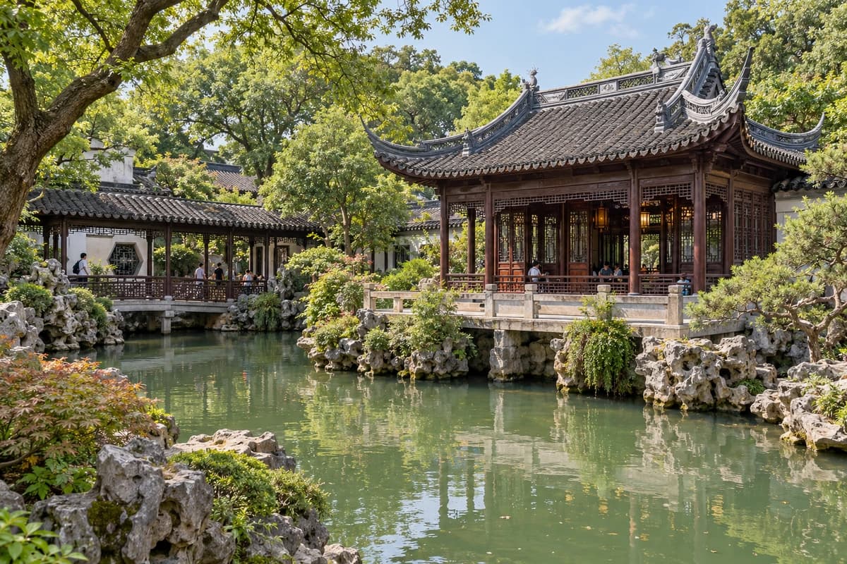
Yu Garden
4.5/ 5CTN Editor Score
Explore a classical garden of rockeries and ponds.
Language
Unreleased languages are for local review and protected previews.
The Bund brings together two very different sides of Shanghai. Along the western bank of the Huangpu River, grand former banks and trading houses recall the city’s commercial past. Their stone facades, columns and domes face the towers of Pudong across the water. From the riverside promenade, you can take in both: the architectural details of old Shanghai behind you and the modern skyline stretching across the opposite bank.
Follow the waterfront at your own pace, watching boats pass and stopping wherever a view catches your eye. Daylight reveals the textures and details of the historic buildings, while evening brings illuminated facades and reflections across the river. Walk a little farther along the promenade to find a different angle on the skyline, or pause at the railing and watch the scene change as the city moves from day into night.
A closer look at the waterfront. Select a place to find it on the map.
Numbers mark places, not a walking route.
Another side of the city.
Explore a classical garden of rockeries and ponds.
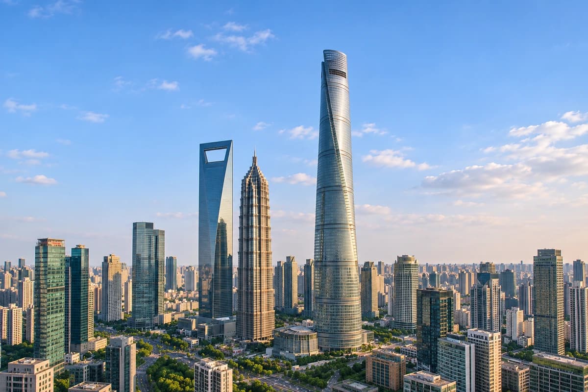
Take in citywide views from the observation deck.
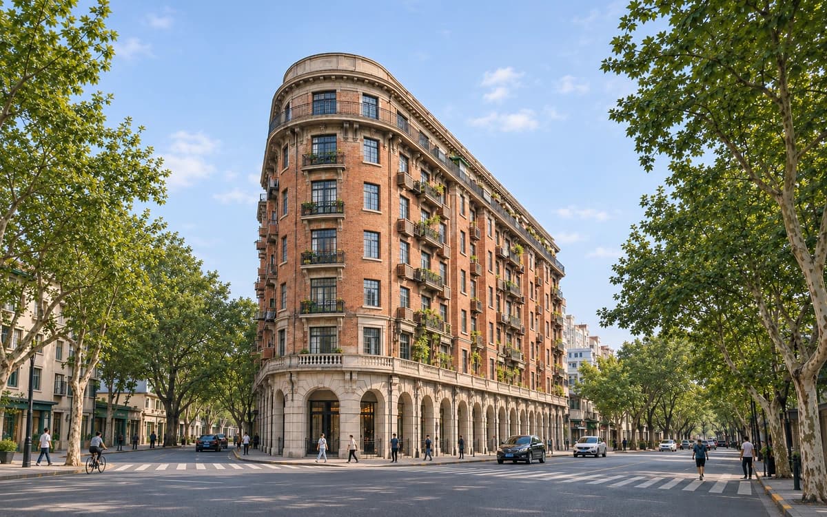
Walk leafy streets lined with historic architecture.
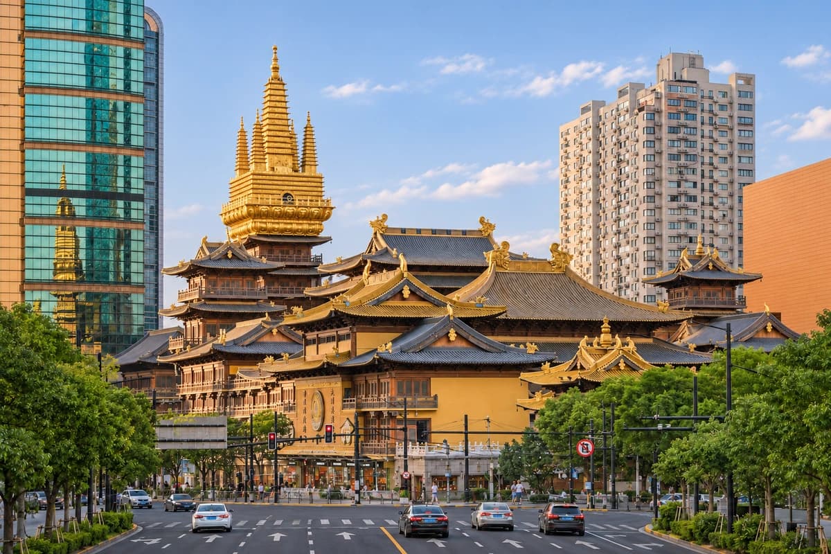
Golden temple halls stand amid the city’s busy streets.
This is an English desktop design draft using local content. The Bund and related cards share the current Shanghai place-card content and CTN Editor Scores. The scores remain editorial suggestions for review, not visitor ratings.
Practical information is draft planning copy. The outdoor opening-hours summary follows Shanghai’s official tourism listing. The expanded seven-day hours are design examples, not a verified weekly schedule or live opening status. Access restrictions, lighting, visit-length guidance, the metro approach and ferry services still need editorial review. No current fares, station exits or walking distances are asserted.
The five-photo album reuses owner-authorized images from the existing site and project. The Peace Hotel interior and Huangpu commuter-ferry thumbnails are user-approved AI illustrations based on visual references, not documentary location photographs. The ferry illustration does not identify a verified terminal entrance or boarding location. These two illustrations are excluded from the album. The Customs House image includes surrounding historic facades. Related cards without a preview page remain static.
Tours & Experiences retains the Shanghai city-page cruise illustration and reuses the owner-authorized Bund waterfront photograph for walking tours. Both cards open local preview details while independent experience listings are in preparation. No ticketing, affiliate or booking service is connected.
The Leaflet map uses Stadia Maps Alidade Smooth tiles (OpenStreetMap data) and WGS84 source positions checked on 7 October 2026. The Chen Yi statue is a representative position for the promenade and the shared starting point. The former Historic Architecture theme is represented by Customs House. The ferry marker identifies the mapped terminal, not a confirmed service or boarding entrance. No attraction boundary or walking route is drawn.
Map positions: The Bund Promenade · Peace Hotel · Customs House · Jinling East Road Ferry Terminal. Map data © OpenStreetMap contributors, available under the ODbL. Numbers identify locations, not a route.
Original China Travel Notes reference